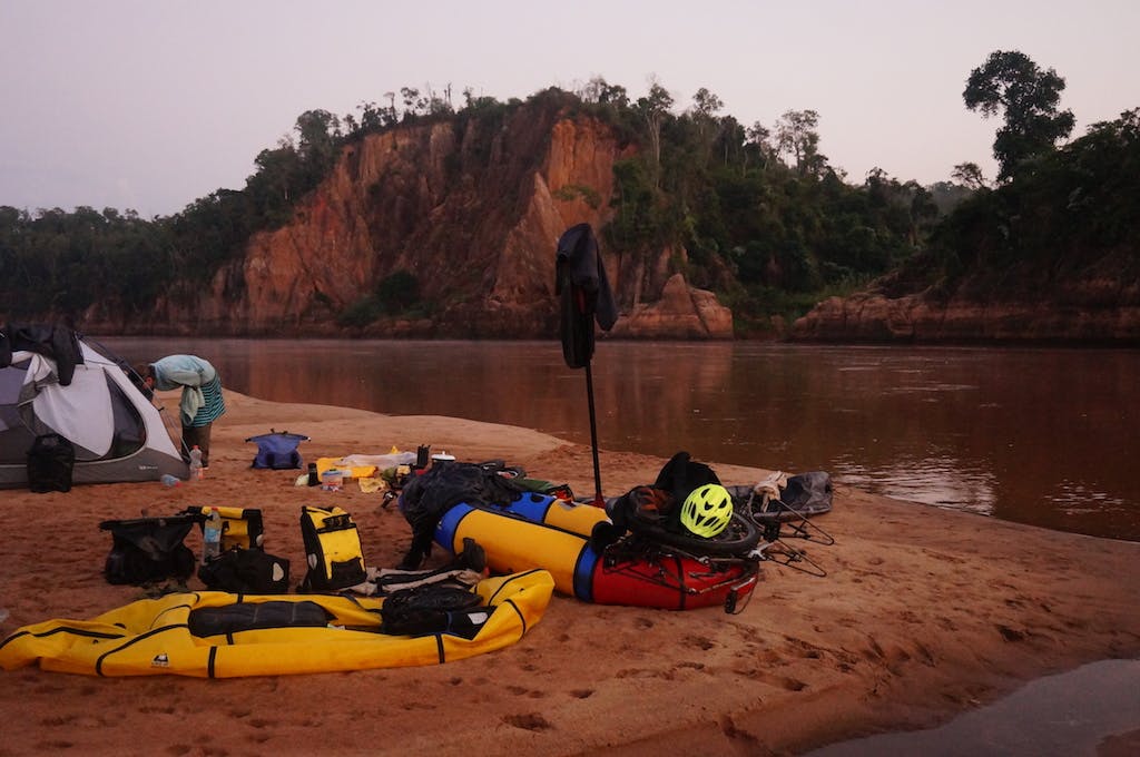
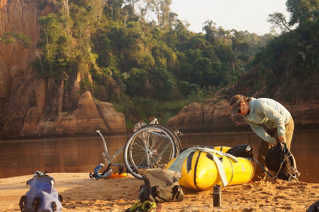
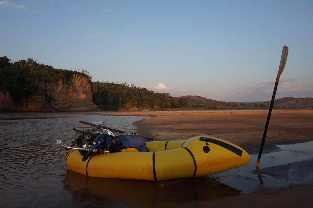
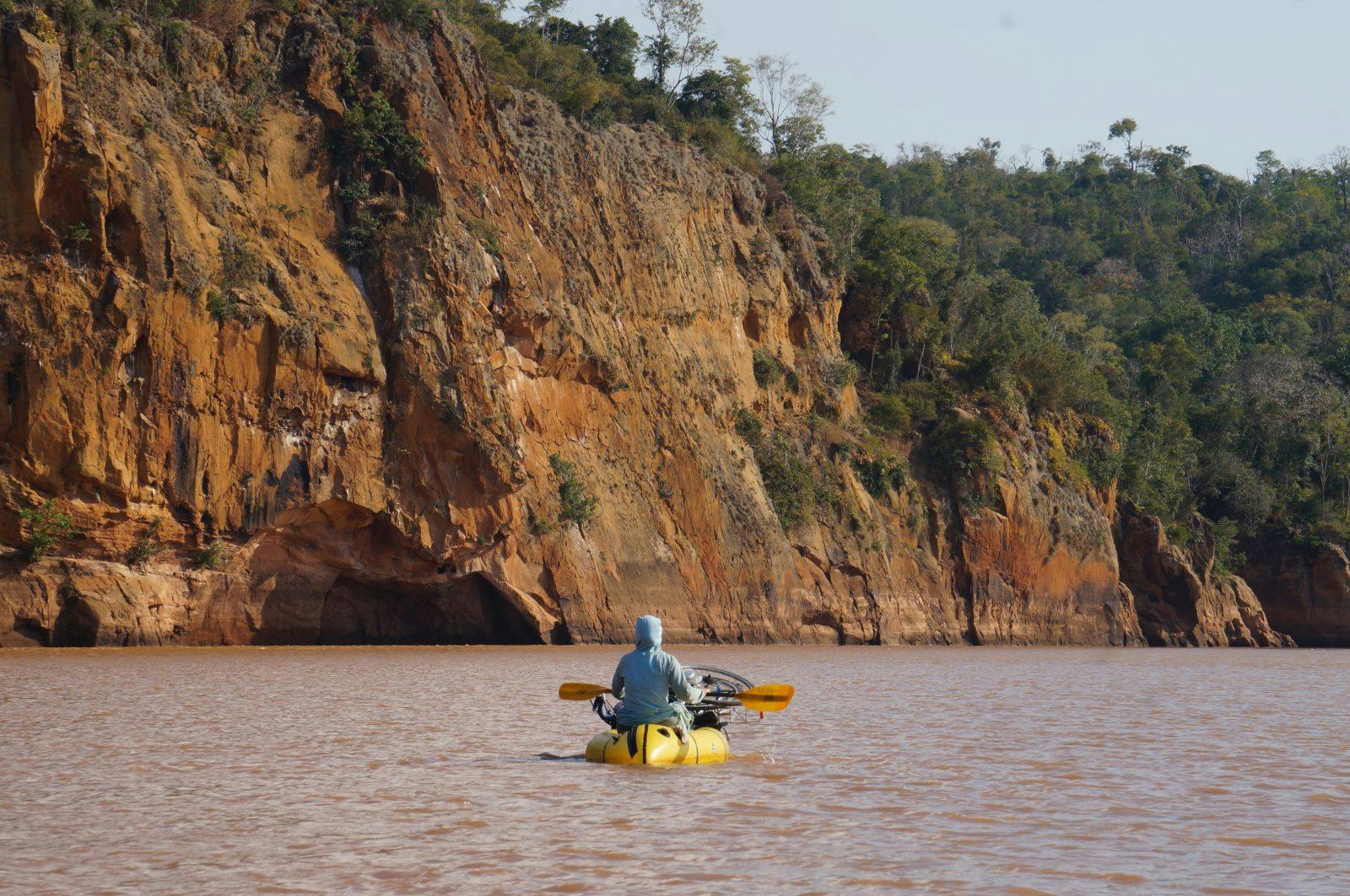
Madagascar by Bike & Packraft – A Photo Essay
Adventure Stories, Bikerafting, Photo Gallery, Athletes & Ambassadors
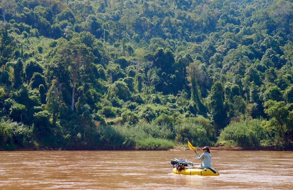
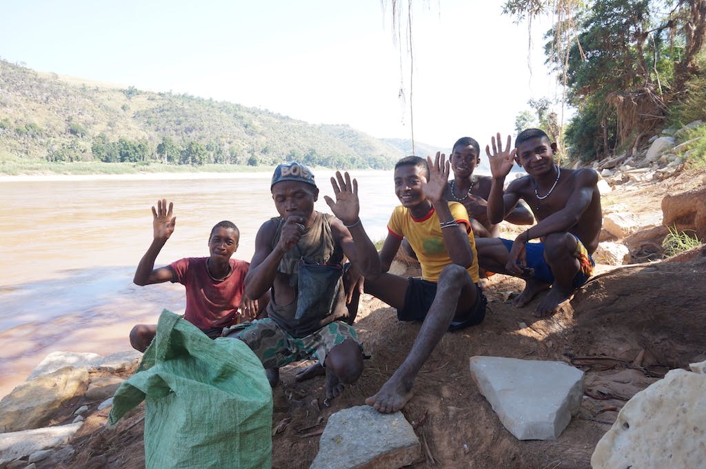
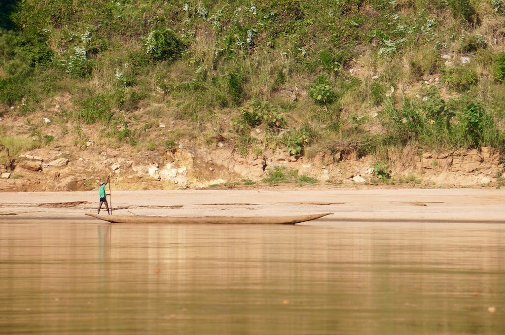
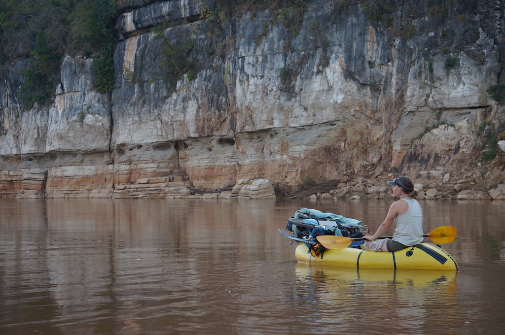
Alpacka Raft Photo Ambassador (& All-Around Badass Whitewater Boater) Casey Fulton Shares His Madagascar Bikeraft Adventure in Photos
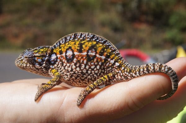
Photos & story by Casey Fulton. Follow Fulton on Instagram, and check out the Alpacka Raft Instagram feed all this week (August 6-10) to see additional photos.
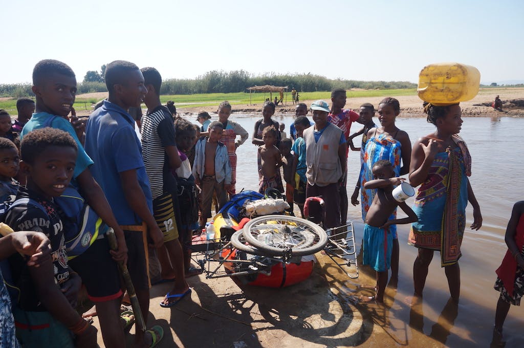
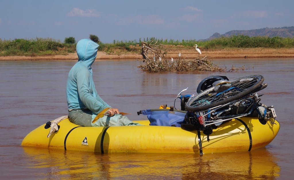
I love staring at maps and thinking of the possibilities, looking at contour lines as they get closer together and then give way to a blue line signifying a river or a creek. I imagine what the landscape looks like. Would there be people living in the canyon or not? Equipped with a packraft, bicycle, and this imagination I know I can go almost anywhere in the world and explore, replacing the lines on the maps with actual views of mountain ridges and river valleys. For 10 months I stared at maps of Madagascar, tracing roads and trails to the river’s edge, where I would mentally change my finger from a bicycle to a packraft, and would follow the river to the ocean. I would measure and remeasure the length of the river and think of how long it would take us to complete the descents. And then I’d consider the interactions with people who lived along the river and what we would do if we encountered one of the countless crocodiles that lives in the rivers of western Madagascar.
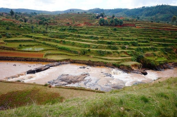
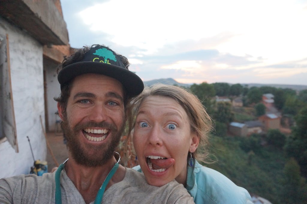
Finally, after months of planning I met up with Jessica in Antananarivo, Madagascar. We had our gear in working order and were literally on our way out the door when the last person we talked to at the hostel gave us a serious warning about our route. The man, a local tour operator, told us that he used to run tours going on the same route that we had planned, but no longed did because of the “Masalo,” a group of bandits that terrorize much of southern Madagascar and pockets of western Madagascar. While I know there are always people who will tell you can’t do something or go somewhere, there was something different about this man’s statement. He was able to describe the route we had planned, the towns that we would pass through, the conditions of road we would encounter, and the characteristic of the river we were attempting to reach in such detail that, as a team, we made the decision to stay another day in the capital and try to figure out just how real this threat was and what we should do.
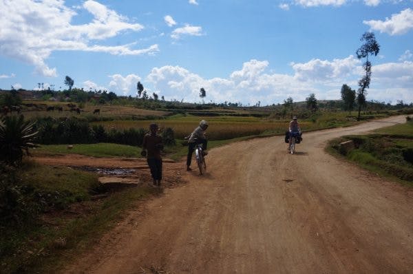
These things happen during international travel. You have to asses the credibility of the threat and what the other options are. We began reaching out to all of our Madagascar contacts, my main contact has spent years researching wildlife and plants in the country, and when I explained our route and asked about his experiences, he told me he had been robbed on the route. Yet another person told us that they had heard of another armed robbery on that route earlier in the year. After hours of questioning, we kept getting the same response. There was a 100km section of road that was not safe. We would be funneled into a valley between town where roadblocks could be set up, and there would be no escape.
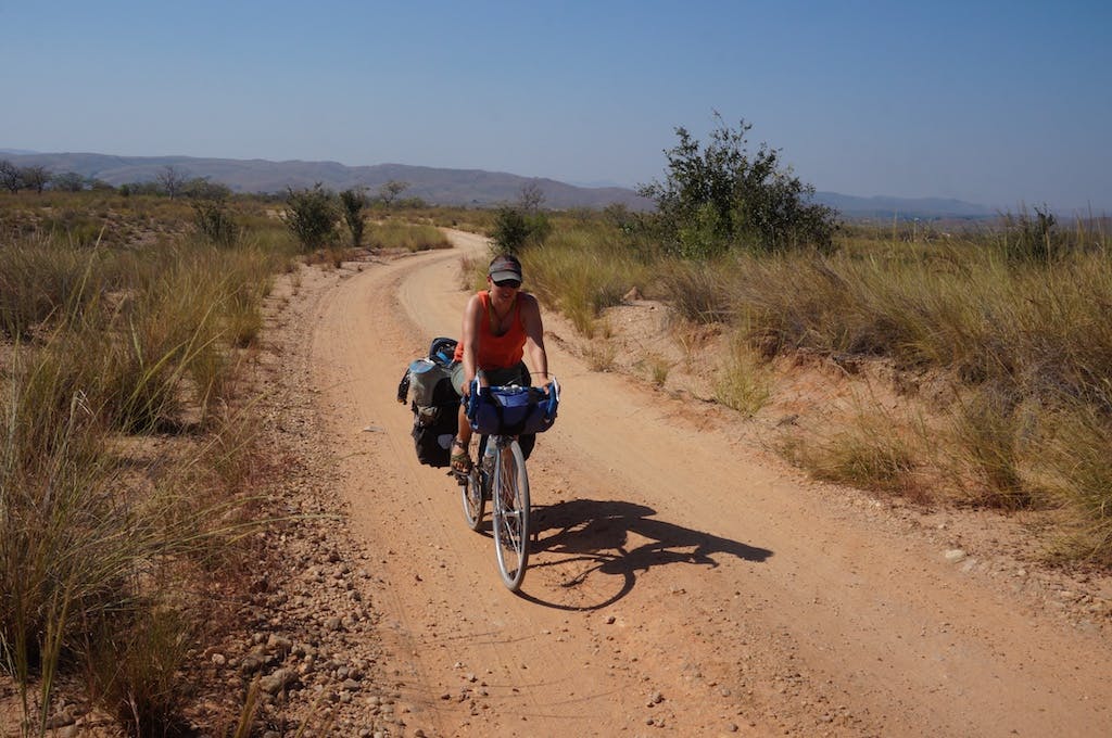
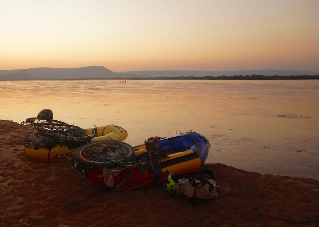
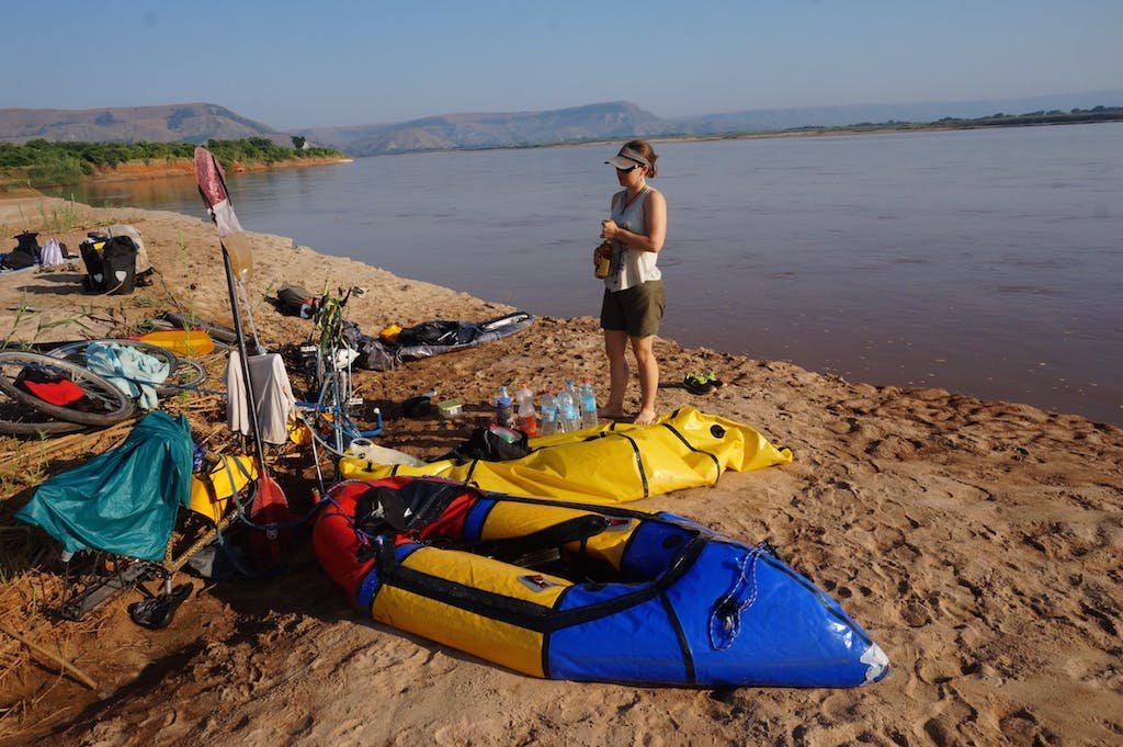
I enjoy risk. I love paddling challenging whitewater, skiing steep tight tree-lines, and climbing questionable things, but I don’t like trusting my life in the hands of other people who are angry and have guns. Would we encounter these people? It wasn’t a 100%, but it seemed credible enough that we changed our route. After agreeing on our new route, we spent the next 11 days biking dirt roads and packrafting the Tsirbahana River, nearly 600 kilometers across the 8th continent of Madagascar. What did we learn on this trip? A heck of a lot. I hope you enjoy my photo essay.
