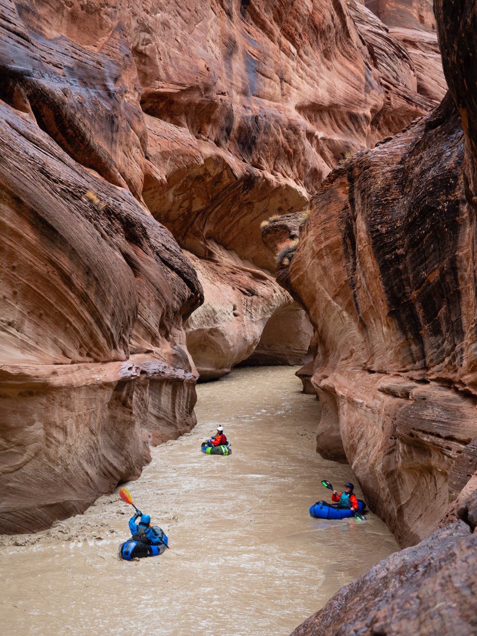
Jesse Selwyn Explores an Ephemeral Desert River, Made Boatable by a Rainstorm
Mike’s email arrived on Friday afternoon. We were expecting friends from Denver for a weekend visit, so I declined his invite. Shortly after a large storm shut down I-70 and our friends canceled their trip. I relayed this latest news to Mike along with words that signed my wife and I up for the trip. His response?
“B thr 8. Brg stove.”
That’s 8p.m.
It was 6:15p.m. We haphazardly transferred clothing and gear and food from storage bins into a duffle bag, briefly considered bailing in our panic, then zipped the duffle shut.
Going PLAM
Typically, my wife and I spend days packing and repacking for a trip a week out. I had a feeling of forgetting something, but couldn’t place what. An overnight drive on dark rural roads is a long time to dwell on what you may or may not have packed.
I mentally conceded that PLAM, i.e. pack light and mooch, was acceptable given the small amount of time from decision to departure. When going the PLAM route, knowing your partners is key as it never works out to discover another member on the same trip is also using the PLAM method.
Thankfully, Mike is meticulous and while he doesn’t over pack he never lacks for items. He already packed a packraft for me, and for another member of our crew, a drysuit. So, what was another unforeseen item or two? We would meet a few others at the put-in who would likely have “spares,” I reasoned. Besides, I brought universal outdoor currency: two pounds of peanut M&M’s.
Destination? An Ephemeral Desert “River”
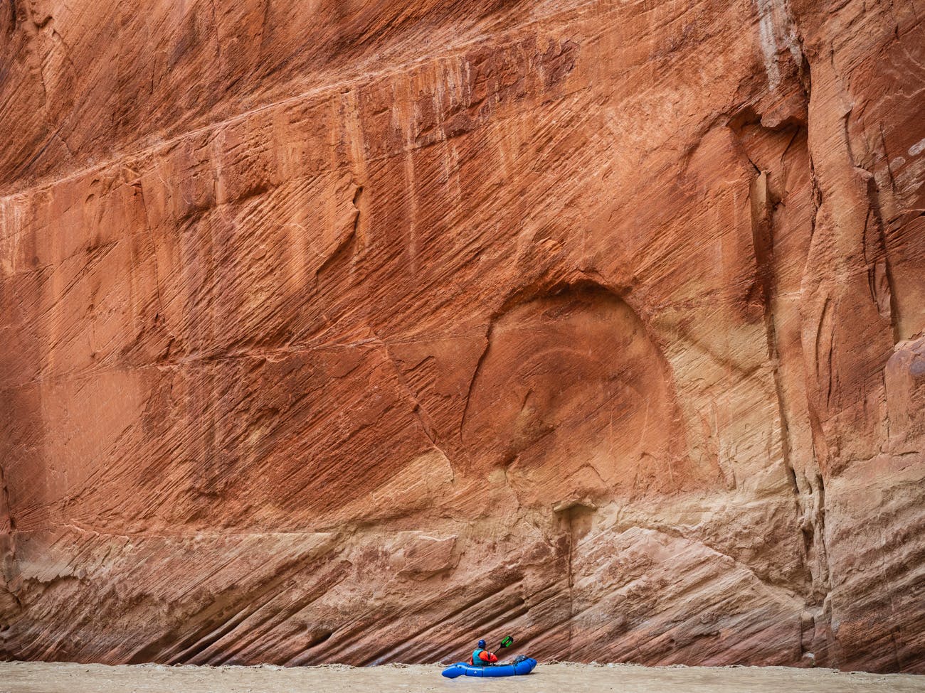
Our destination was an evanescent desert river 400 miles from home. Forming in southern Utah’s desert, charged by a combination of meager desert snow and storm runoff, this river** has carved out an impressive desert canyon in Arizona. Officially labeled a river, most of the year it more resembles a small creek with average flows of 20-30 CFS, or shin to ankle deep at best.
While very limited information exists on boating the river, launching with below 100 CFS is a very poor bet. Because it relies primarily on wet storms in a large catch basin, a paddler’s best bet is to ride a rising flood. Storm flows rise and fall rapidly and unpredictably, meaning a period of hours makes up the difference between a mesmerizing paddle or an expletive screaming, soul-crushing, quicksand slog.
Mike had already made two failed attempts to paddle it since fall. Once he turned back half-way through the drivethe other failed at the put-in when it was clear the hoped for spike in flow wasn’t going to materialize.
Should We Stay, or Should We Go?
We stood around facing a river that was visibly dropping, and I wondered if Augustus Gloop might be found just out of sight, gulping down the chocolaty treat, gluttonously stealing our’s. We spent 30 minutes pulling up forecasts and radar images and searching the sky for the forecasted inch of rain, while debating if risking a 20+ mile hike was worth launching.
One-hundred pound blocks of sand collapsed from the banks. The hollow thump and slurry-like waves seemed a somber, ominous sign. But, we had developed a sweet tooth that couldn’t be remedied by turning our backs. We inflated our boats.
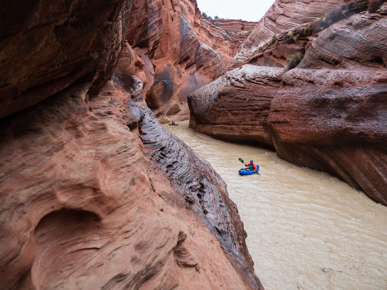
Giddy joy echoed through canyon walls. Our first day carried us through a dozen miles of slot canyon, each bend offering up another geologic wonder. The wet line on the canyon walls clearly showed the water continued to fall. Not wanting to ruin our wonder, we ignored this fact. Luckily, the channelized river allowed passage with only an occasional butt squirm. However, my paddle blade scraped bottom with nearly every stoke.
Though drifting Class I water in awe, sandwiched beneath walls hundreds of feet tall, this was no lazy river ride. Where flowing water met rock, bending 90 degrees or more, cyclonic eddy lines and intersecting currents woke us all with a threat of capsizing or grating our rubber boats against a coarse grit wall.
Twenty miles in, the river’s gradient increased. So did obstacles. Lightning, thunder, and overdue predicted rain punctuated fast Class III creek type boating with few eddies and poor sight lines. In fading light, I stupidly found a rock while eddying out at camp, flipped, bounced off a shallow bottom, and lost my paddle. I then rolled an ankle while hopping from boulder to boulder in a frantic search. Thankfully the paddle surfaced by another of our group, saving me from more than just embarrassment.
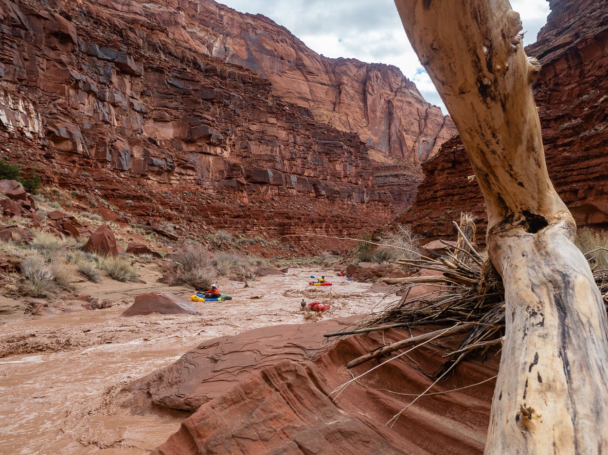
The Storm Approaches
As is typical with adventures, the rain that we expected during the day arrived with vigor while we raced to set up camp. Gusts threatened to collapse tents, rocks tumbled, rain poured.
Keri, my wife, and I finally discovered what we’d forgotten to pack. We had neither painkillers nor a flask. Each time I woke that night, struggling to find the least uncomfortable position for my swollen, bruised foot, rain was trampling the tent. A growing roar was coming from the river’s banks. I let out a sigh of relief, a quiet thanks to the universe; I wouldn’t have to walk 20 miles on my very swollen, bruised foot.
I curiously unzipped the tent fly and glanced towards the river. It had come up, that much I already knew based off sound and common sense. How much, however, was unexpected. It was feet higher.
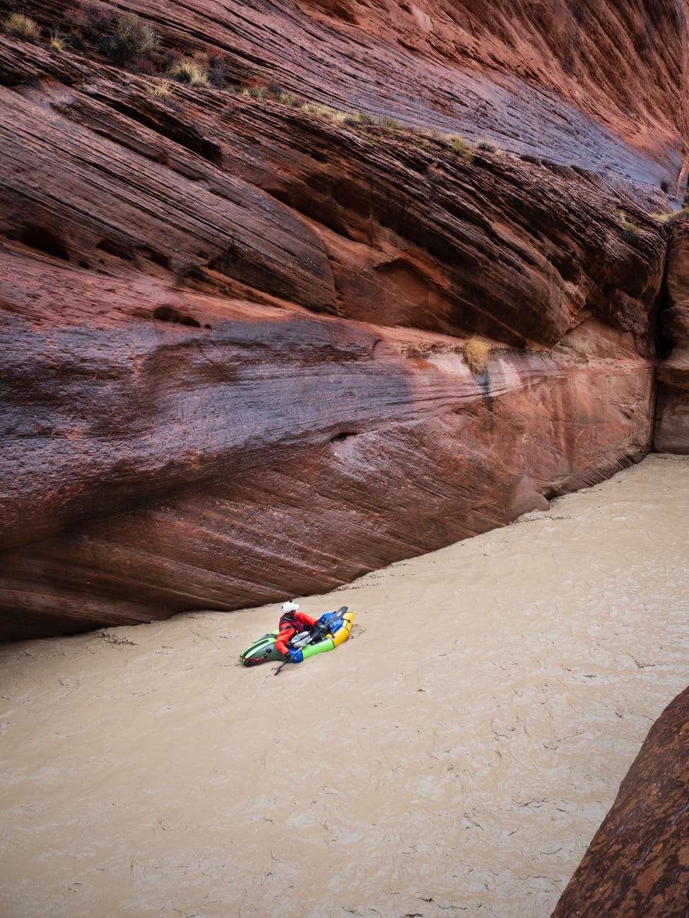
Amazingly, the water had become even more viscous. Dipping a hand or pot into the water to rinse it clean had the opposite effect. Everything came out dirtier, more gritty. I had read this river could carry two pounds of silt per quart of water, which is hard to grasp until one experiences it personally.
We packed up soggy gear, fought with grit filled zippers, and launched into the fast moving quagmire. The river’s character drastically changed from the previous day. No longer a slot canyon, the scenery was more akin to the open colorful, tiered walls typical of other desert river canyons. We had little time to enjoy our surroundings, as relentless III to IV- water demanded constant focus. We all watched the boater to our front for signals to eddy out.
While there is little information on the river, we did have some beta that indicated there were eight rapids necessitating scouting, if not outright portaging. At our flows, these were Class V. One of our crew ran all but one, giving us a beautiful master class in river running. More than one person commented that he only ran them to avoid the portages.
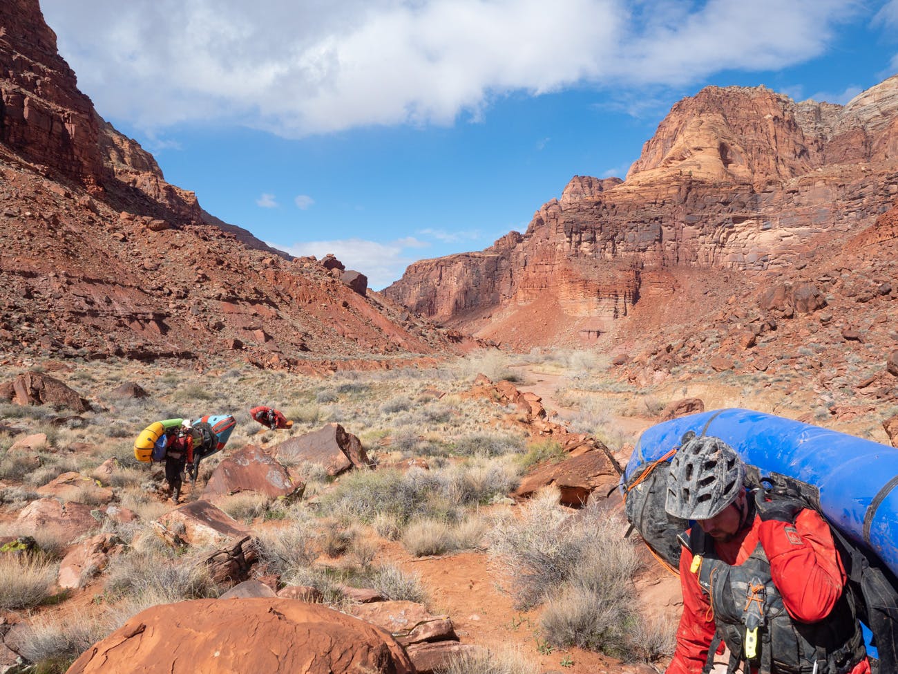
Scooping Silt
After scooping pounds of silt from our boats, the rest of us trudged with heads down, carrying our loaded boats up steep, loose banks and traversed fields of boulders and cactus. With each of these portages, totaling two miles by trip’s end, one of my partners had to complete it twice.
Suffering my injury, I navigated the terrain using paddles for crutches, without my boat. My companions, including my wife, instead carried it with a smile, not a glimmer of resentment in their voices or actions or faces.
Each time I managed to find a rock hidden below the water’s turbid and churning surface, it’s impact sent waves of molten pain from my foot erupting out my mouth. My partners offered up pain pills or whiskey. Surprisingly, none accepted my peanut M&Ms. Self-less, capable, non-judgmental, concerned but trusting, properly equipped; these are sound qualities for any adventure partner, but it is doubly critical when using the PLAM method.
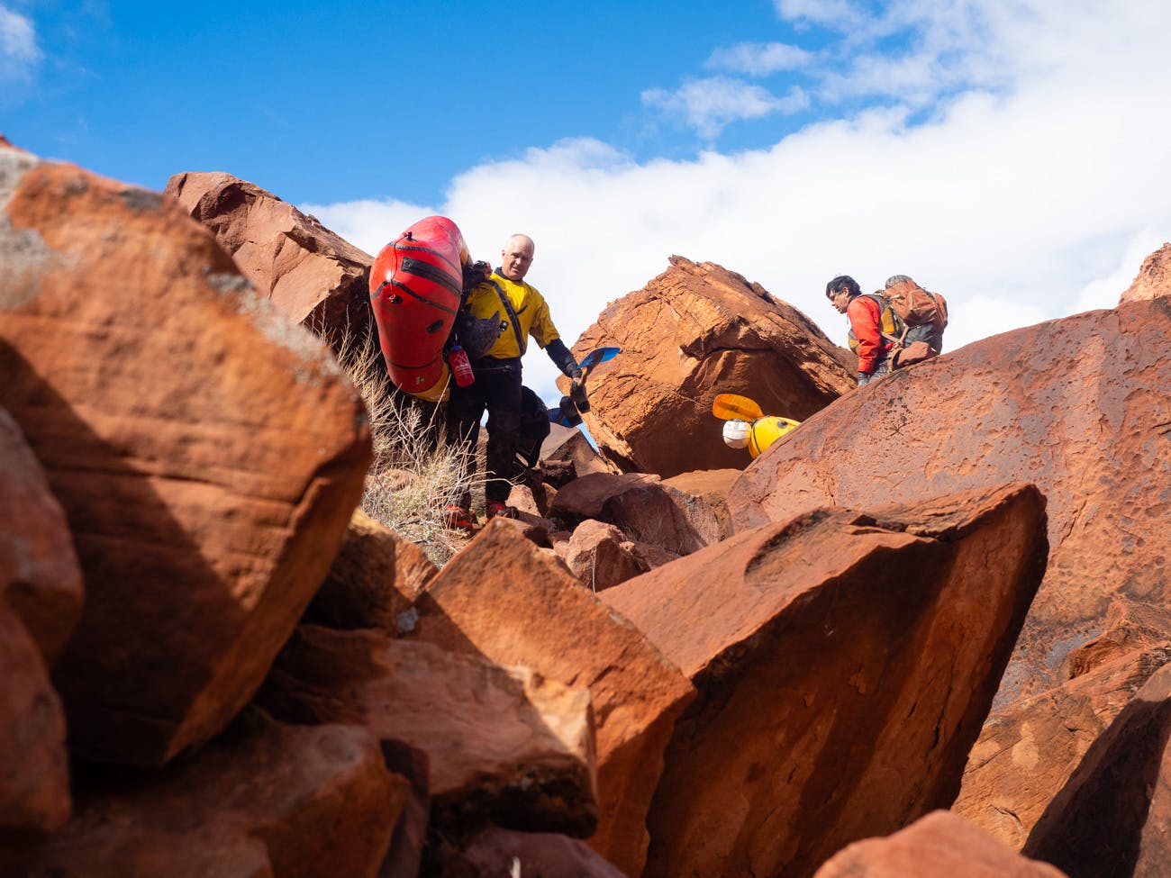
The River’s End
That afternoon, we reached the river’s terminus. We rejoiced over the clear water it created. We laughed and played and bathed for an hour. Literal pounds of silt were cleaned from our gear: it was in every nook of the boats, every pocket of our PFDs, spilling out our ears.
Our vehicles were another 1/4 mile hike away over flat, sandy ground. No one offered to carry my boat, they knew what I did, that it was a point of pride to take one’s own gear to the finish line. We rode the river at a peak of 900 CFS. When we returned to our starting point that afternoon, a mere eight hours later, flows had already plummeted below 100. The sand sucked it up, water vanishing as we packed. The river itself may be ephemeral, partnership is not.
**We are leaving this river unnamed because of the delicate wilderness area through which it runs.
