Early Season Packrafting on the Dolores River
By Rica Fulton, photos by Cody Perry.
On Monday March 4th, a 4.5-magnitude earthquake hit Southwest Colorado; its epicenter three miles south of Bedrock along the Dolores River. With the epicenter so close to our treasured Dolores River, we wanted to paddle through Slickrock Canyon to see if any new sandstone slabs tumbled into the water creating new whitewater features.
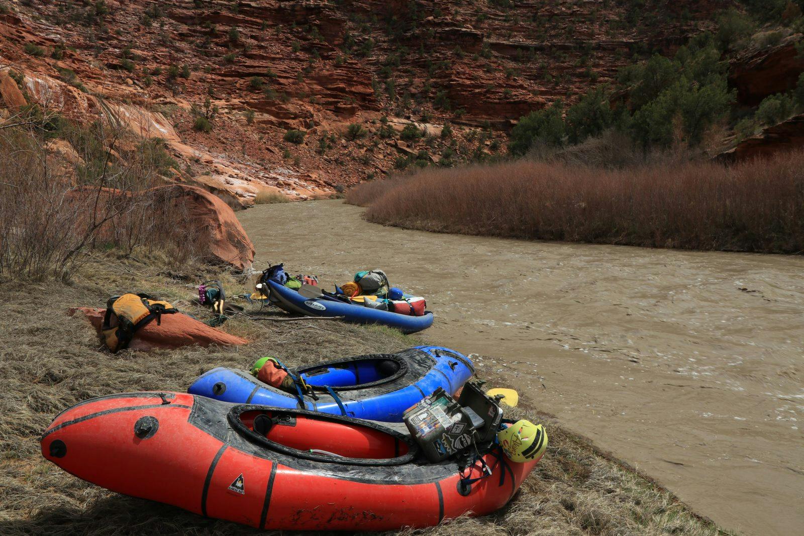
Lucky for us, winter in the Southwest has been phenomenal. We carefully monitored flows at the Slickrock gage. And, the first weekend of April produced close to 400 cfs, more than enough water to take our fleet of packrafts into the canyon.
Leaving Mancos, Colo., early to meet our shuttle driver in Bedrock, with smiles plastered on our faces, we hardly believed our luck that the first river trip of the year was the Lower Dolores. Two months ago, I would have told you there was no way the Dolores would run.
Without more than 40 cfs being released from McPhee’s dam, a handful of small, unassuming creeks and washes, such as Disappointment Creek and Coyote Wash, single-handedly channeled glorious mud and salt-laden water into the thirsty riverbed of the Dolores.
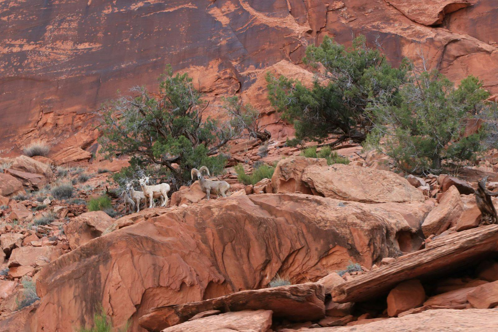
Lazily floating through canyons iridescent with desert varnish, we passed families of Bighorn Sheep. And, at that moment, we decided a more appropriate name for the Dolores should be, “Disappointment River,” as most of the river’s water came from this side drainage.
The Dolores Coming to Life
Because last year was so devastatingly dry, the region is in a “drought hangover.” All of the glorious snow melt that should be flowing through those canyons in the Lower Dolores is instead relegated to stagnation in McPhee Reservoir.
But on our most recent trip, muddy clouds of sediment and pinyon pine cones swirled like cream in coffee, masking rocks in the river. This made paddling an exciting exercise in distinguishing between sleepers and enjoyable holes.
It’s special and powerful when a river comes to life. You can feel dynamic eddies and currents still making up their minds where they want to be. Every splash onto our boats quickly dried into streaks of coffee-colored sediment, the effect surprising, even to seasoned red-rock, mud-loving river rats like us.
Why do earthquakes happen along the Dolores?
During some years with low flows, the Dolores River in Paradox Valley has up to five times the salt concentration of seawater. All that salt in the Dolores wreaks havoc on farmers and cities downstream in the Colorado River system, suffocating crops and clogging industrial machinery.
In 1974, the Colorado River Basin Salinity Control Act was authorized to remove salts from the river system. And, in the 1990s the Bureau of Reclamation built the Paradox Valley Unit near Bedrock that removes salt from shallow groundwater before it enters the river and ejects the highly-pressurized brine 16,000 feet into the earth. Since the Dolores contributes almost half of the salt that exists in the Lower Colorado River, the Paradox Valley facility removes about 17 percent of the total amount of salt that gets evicted from the Colorado River system — and also causes small earthquakes.
Our friendly shuttle driver, Mark, described his experience during the earthquake last month. He watched his truck rock back and forth in his driveway. Small earthquakes are common for residents like Mark and his wife, Jennifer, since the desalination unit has been in operation. But, this was the largest ever recorded in the area according to the USGS. The facility was not operating during the quake, and Reclamation is conducting additional studies before bringing it back online.
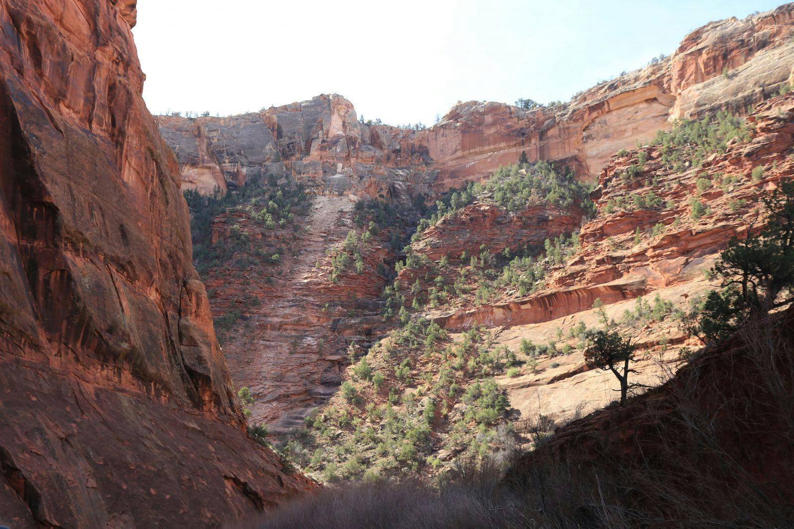
We witnessed the scene of at least four recent rock slides that had freshly bulldozed bright-green juniper trees and scattered cleanly-calved microwave-sized rocks across the river banks. While we can only speculate that the earthquake directly caused numerous rock falls, it seems a likely bet. Needless to say, the earthquake created no new notable whitewater features or obstacles between the Gypsum Boat Ramp and Bedrock.
In awe of the River, sun-kissed and grateful, we pulled our packrafts onto the vegetation-filled boat ramp at Bedrock only to learn the river’s flow had climbed to an astounding 1,000 cfs as we floated. Even with the complex river management regime of dams, releases, and irrigation needs, we witnessed some semblance of natural functions on a river that desperately needs it.
Despite excessive salinity and subsequent earthquakes and a future of climate change causing further reduced flows, the River of Sorrow is as resilient and remarkable as ever — a reminder to embrace variability and to never underestimate the power of water in the desert.