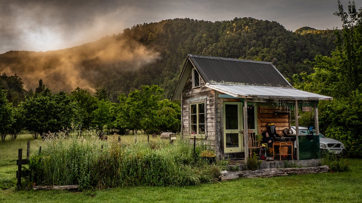
Fluid Trails – Bikerafting Kahurangi National Park
Fluid Trails – An Epic Bikerafting Adventure Through New Zealand’s Kahurangi National Park.
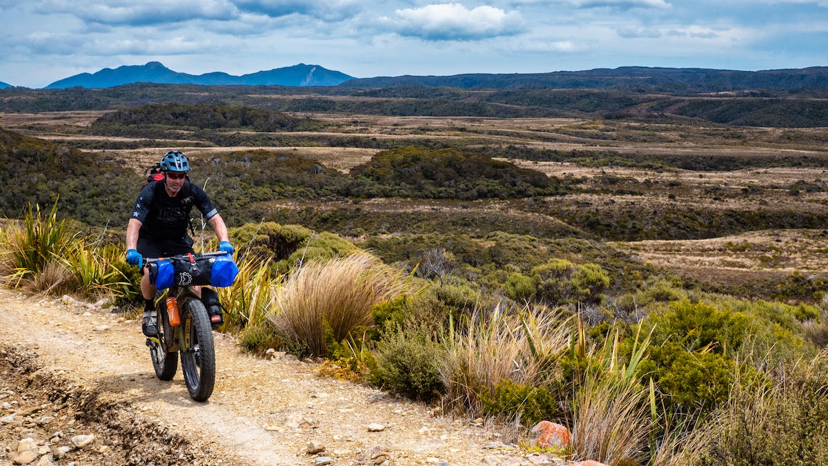
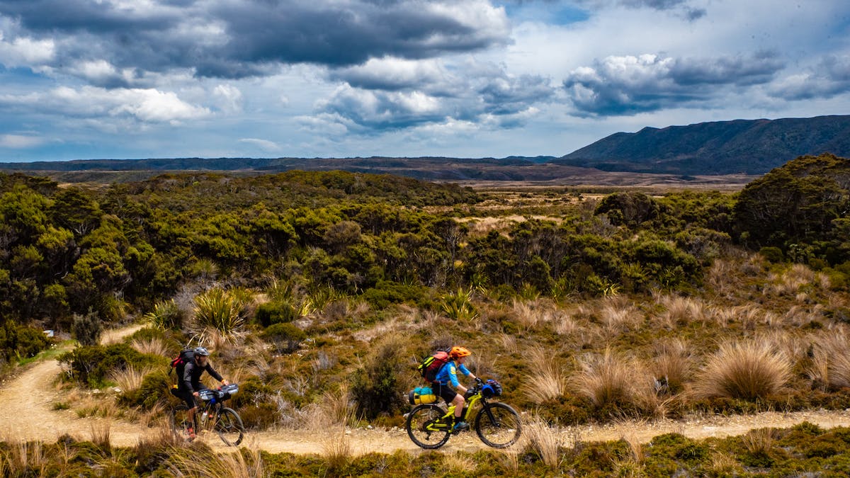
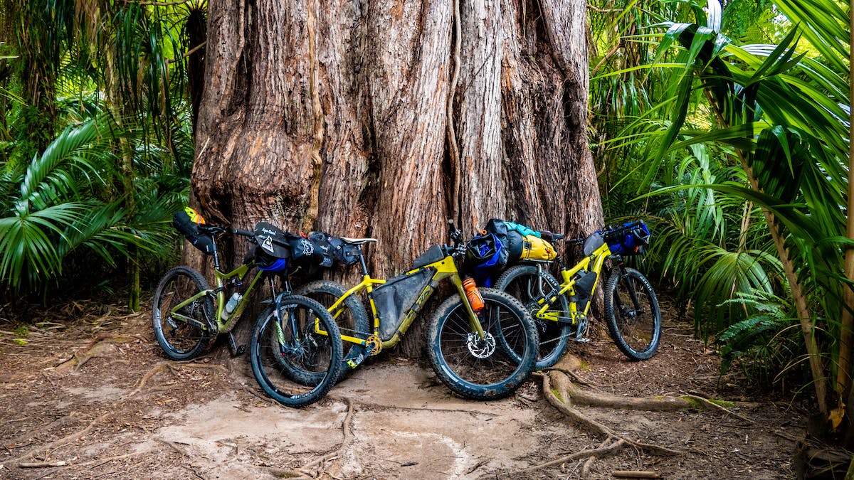
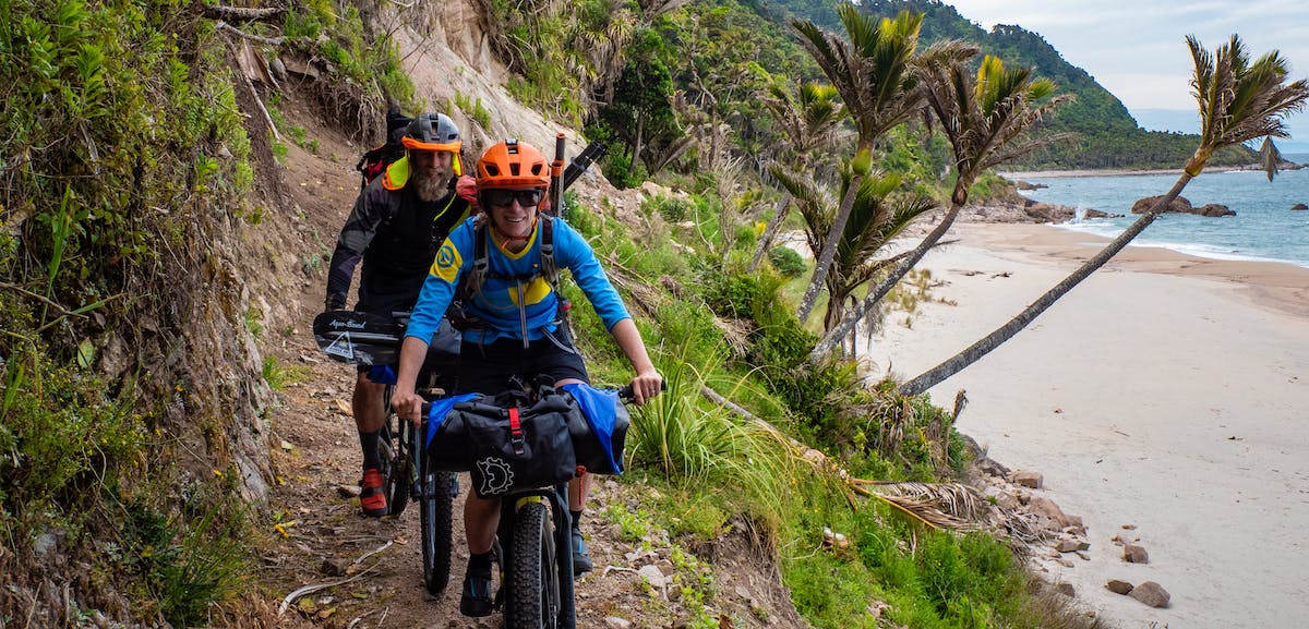
“Fluid Trails” follows three adventurers as they embark on a bikerafting adventure across Kahurangi National Park, New Zealand using mountain bikes & three packrafts. The park is an ancient place of rare birds, rolling alpine tussock, earthquake shattered peaks, and towering podocarp forests. And it’s a place of colonialism gold fever and endeavor and cascading rivers and winding singletrack. In this blog post, Deane Parker talks about how he came to know and love this sacred piece of New Zealand. Want to learn more about bikerafting? Check out Deane’s, “This is BikeraftingBikepacking.com.
You can also find the film and additional interviews with Deane Parker
Freedom & Belonging: Discovering the “Fluid” in Kahurangi’s “Fluid Trails”
I began tramping (hiking) and mountain biking in Kahurangi National Park. Even before my teen years, my folks dragged me through the Heaphy Track on foot, and the Mt. Arthur tablelands became the hub to launch missions from.
At high school a friend and I discovered mountain biking, and all of a sudden we could go further into what was then North West Nelson Forest Park. That mate, Nathan Fa’avae, took our adventuring way further to become seven-time Adventure Racing World Champ.
“Two-wheeled machines represented freedom and belonging, we were part of a first-mover group, we proudly identified as mountain bikers, sometimes with a mildly disturbing level of obsession, especially with a new bike. That same adventurous spirit impelled Deane and I into a lifetime of adventures, in kayaks, packrafts on foot and on bikes. We’d often spend hours during ‘a mission’ – planning the next one. Now both adults, we place great importance on providing our children with outdoor adventure opportunities and we continue to challenge and test ourselves.” ~Nathan Fa’avae
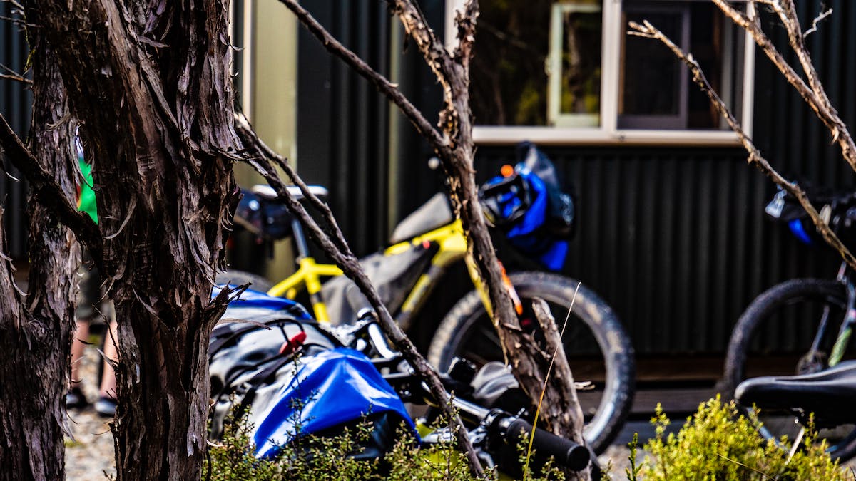
Next Steps – Expanding Our Reach
Slightly later, Nath was getting into white water kayaking as I was turning a disused petrol station into a hub for rafting and kayaking in the little town of Murchison. ‘Murch’ is situated in what is known as the four rivers plain where four rivers join the Buller for the plunge through the Upper Buller Gorge.
The mid 90’s were the end of the cowboy days in the rafting industry. Over 60 operators spread across our little nation, and new operations were still opening headwaters of rivers. Ultimate Descents, the business I was a shareholder in, was strong and had earned a good reputation for running heli-rafting trips on the infamous Karamea River.
During this time Nath talked me into a long hike in the southern area of Kahurangi involving a section walking up the North branch of the Mokihinui River. I had heard rumors of steep white water up there, so I was keen to check it out.
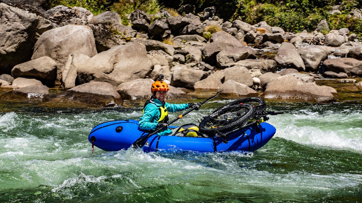
We had only walked a few kilometers upstream from the confluence, the Mokihinui Forks, when the gradient picked up the valley narrowed and the water fell over big granite boulders. Gobsmacked, I vowed to return; it looked doable by full-size raft.
Nathan and I came back by helicopter a few months later, him in a kayak and me leading a two-raft trip full of guide trainees. The river was high, and we found near continuous Class IV conditions up high, easing to drop/pool rapids further down, and coming across a stunning beach campsite just before the gorge opened up. We added a two-day heli-raft trip to our offering and me ol mate Tim Marshall, at Ultimate Descents NZ, still operates a couple of trips a season on the North branch of the Mokihinui.
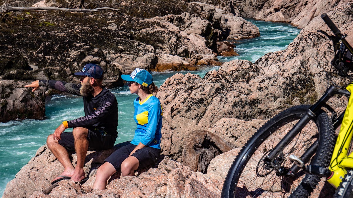
The Making of Fluid Trails
We started our Fluid Trails trip at an old gold-mining settlement, Lyell at the start point for the Old Ghost Road. It lies on the banks of the Kawatiri (aka Buller River)–the third biggest-volume river in New Zealand. In the Upper Gorge, turbulent water cuts through two gorges. But after this point it meanders its way through the majestic lower Buller Gorge to the Tasman Sea.
On the trip, we packrafted from below the Forks in the main river. A stunning granite canyon, it caught the attention of hydro developers in 2007. They made plans for an 279-foot dam that would hold back a 14-kilometer long lake, flooding 330 hectares of pristine native bush and a granite bedrock gorge. The carrot was the 360 giga-watt hours of power it would generate.
Fortunately plenty of people opposed the dam, as the area showed high intrinsic natural values. In 2010, the Department of Conservation lodged an appeal with the Environment Court. In 2012, the power company pulled out of the scheme. There was rumors that it was really due to the fact that the geology was unstable and a major fault line very close to the dam site.
It’s unbelievable to think now that the whole Mokihinui River section of Fluid Trails would have been under the storage lake! Thank goodness for all the warriors who fought to save this river and keep it in its natural state.
The Roaring Karamea River
Rewind a few years to the town of Karamea, which we passed through on the Fluid Trails trip between the Old Ghost Road and the Heaphy Track.
When I first started rafting, we drove several times a season seven to nine hours from my bosses place in Motueka to do one-day trips on the Karamea Gorge or fly further into the headwaters for the three-day trip. This trip was arguably rated as the most challenging in the country. A massive 1929 earthquake had shaken huge amounts of debris off the aptly named Garibaldi Ridge, causing significant rapids to form.
The biggest rapid of them all, the almost kilometer-long Roaring Lion, is a choke of house size boulders that we used to break into three sections. We gave features of the rapid anatomical names from this mythical beast, the throat, the bollocks, the sphincter, and the esophagus. Sometimes we got brave and ran some or even all the sections at medium and low flows with varying success and a lot of stuff ups.
Fortunately we bought everyone home, miraculously given the bus-swallowing hydraulics and giant size whirpooling sieves. These days most trips portage the whole section top to bottom. There’s no need to risk running this cataract when there’s almost another 20 kilometers of challenging rapids following. Karamea is also special to me because I met Melissa, my wife to be, during these chaotic visits full of aviation gas fumes and foreign tourists.
First Descents of Golden Bay
The second river we packrafted on the trip was the Aorere. It flows north from the end of the Heaphy Track into the tranquil waters of Golden Bay. I lived in Golden Bay for almost four years at the end of my river exploration days, and racked up a few first descents on the ridiculously steep creeks that fall out of the limestone hills in this northern part of Kahurangi. I had only run the Aorere once before and knew well of its reputation for huge undercut limestone bands that had claimed the lives of two kayakers in one incident.
Hugh Carnard, one of the early river pioneers of New Zealand in all manner of craft, like most intelligent river runners has adopted the ease of packrafting. I go to him for for intel on far flung remote rivers and creeks, far from the mainstream guide book. When I touched base with him prior to leaving, he told me the story…
“I got the story from Graham Egarr who was the only one that survived. Three kayakers who were very bold ran the Aorere in a big flood. Two came out of their boats in the big corner above the bridge, all limestone with very bad undercuts. Two went under and stayed under. Graham said he literally ‘rock-climbed’ up the wall under water until he got to the air. The two who drowned had spent six months touring New Zealand running all the rivers in flood.I’ve run the Aorere from 20 to over 1000 cubic meters per second. It has real dangers at high flow that aren’t apparent to an intermediate. I’ve seen kayaks disappear below the surface for 20 seconds. The bluffs have no buffer waves because the water is going under the rock wall. You get sucked straight under with no warning, and when you roll you’re still under water scraping along under a limestone ledge about three meters down. And at the end of that ledge is a pile of trees. So, you can see my genuine concern when the river is on the rise.”
My main concern wasn’t my own safety because I knew at high flow they would still only be Class II-III moves. But for Rose this would be an intimidating environment; Muel and I would need to protect her from the Class IV-V consequences of being in the wrong place at the wrong time. Fortunately it was merely a dirty fresh that took the river from very low flow to medium low, and once we got on the water my anxiety eased immediately in the charm of the sheer walled canyons and mild white water.
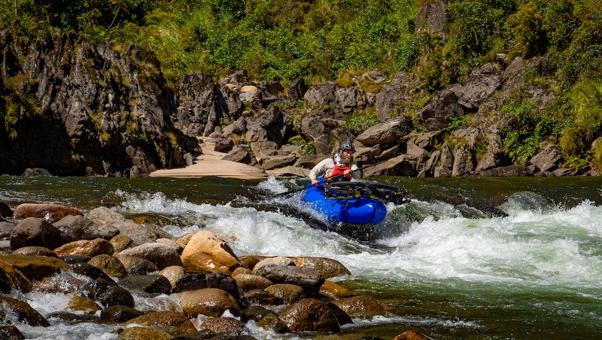
The Upper Buller Gorge
After another couple of days riding we ended up back in the catchment of the mighty Kawatiri. We had been tossing up which section to paddle. But, as fate would have it and due to some complications with our drone operator, we ended up running the Upper Buller Gorge.
This section is the most confined on the rivers course and at high flow the rapids wash out and the river becomes a cauldron of funky hydraulics, boils and eddy fences. At low flow like we had, four distinct rapids form, two of which get chunkier the lower the flow gets, Whale Creek and Ariki Falls.
I have an affinity to Ariki Falls, having smeared my knee cap over one of the massive guard rocks to the gnarliest line, hero rafting it with some other guides in 2000. The surgeons report called it a comminuted compound fracture of the patella, I had to look up what comminuted meant…pulverised!
We all successfully ran the rapids of the Buller the last day of the trip, which was the jubilant climax we ached for. Even as I write this it astounds me how this loop took in so much of my river running history. Obviously it helped that all three rivers geographically flowed in a clockwise fashion linking the two major trails. But this totally made it our “Fluid Trails.”
Deane, Rose, and Muel used self bailing Gnarwhals for their whitewater bikerafting adventure.
